by Sixth Class
February 2020
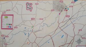
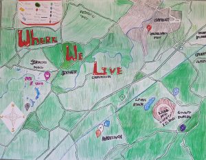
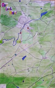
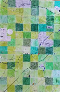
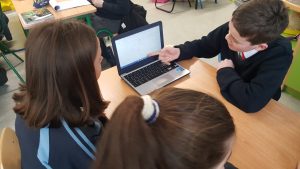
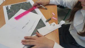
In February we spent time looking at Ordnance Survey maps in Geography. We learned about grid references, scales and what various symbols meant on a map. As part of an Art lesson, we created our own local area maps.
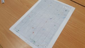
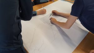
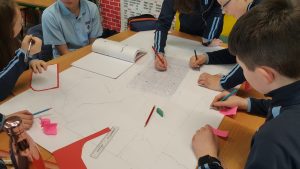
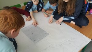
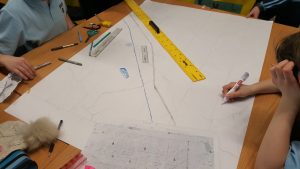
First we got into groups and went online to locate each of our houses. We then printed out a map that included each house, before dividing the map into square boxes. We got large sheets of paper and drew bigger boxes so we could scale up the map.
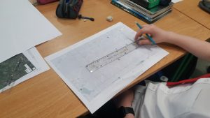
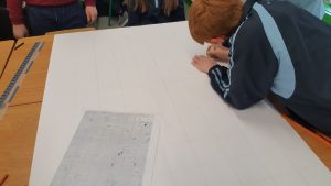
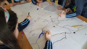
Once we had our big grid, we were able to copy what we saw in each small box onto each box on the bigger map.
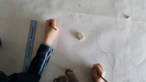
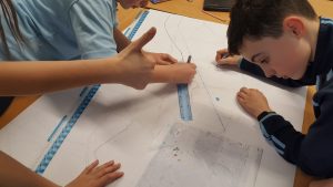
When we had lightly drawn in all the main details in each map, we began to colour them.
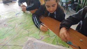
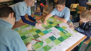
Here are our finished maps!