by Rebecca Finneran, Aoife Moore & Charlie Sherry
January 2016
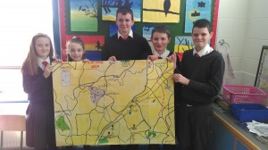
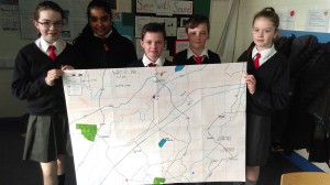
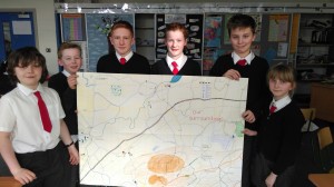
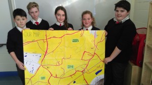
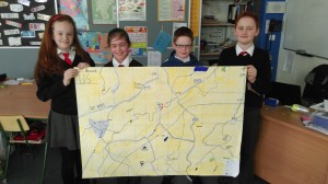
For one of our class projects we made maps of our local area. Every group did a different map. We marked our houses and did the map based on the location of our houses. We printed small maps of the area and drew a grid on them using scale.
Then we made a bigger map, instead of printing it out we made it ourselves. We used 8 A3 sheets stuck together. Then we did maths to work out how to make a grid on these maps. For example, for 1km² in real life we decided to make a grid on the map of 8cm². We had to make keys so that we knew what a white line or a blue line meant (etc.)
We had to draw the maps ourselves and colour them in. It was difficult to draw the lines according to the grid reference. It was good fun however and the maps looked great in the end.
In total there were 5 big maps (5 groups) and they looked like this: